Bebeng river is one of the paths of cold lava after the eruption of Mount Merapi. Initially only four of us decided to go to a place that once we go and we could see a very close merapi mountain. This location can be categorized as precisely in the slopes of Merapi north of srunen village. We got confused looking for the location because the first location was destroyed by heat clouds. But now it is grown trees. Having reached, our little dissapointed because Mount Merapi covered by fog. Finally we decided to walk down to the river Bebeng. We go down with a fairly steep slope of about 1km to get to the base of bebeng river. The atmosphere quite horrible and terrifying because it was quiet except four of us. And here's a our photo documentation in the Bebeng river August 14, 2012 - 07:30 AM
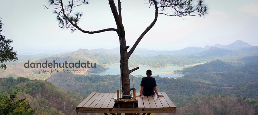
just click the picture if you want to see original size and you can translete it use the transleter in the right top corner. thanks..
 |
| We passed a deserted road between the trees |
 |
| We go down to bebeng river around 1km |
 |
| We passed a steep cliff, is actually behind us Mount Merapi visible but obscured by fog |
 |
| We get to the bottom of the river Bebeng full of cold lava and dry |
 |
| We photograph in front of Mount Merapi, which is covered by fog and Mount Merapi lies behind us about 4-7 miles from our position |
 |
| This is a same photos of after eruption and now |
 |
| Its also same photo after eruption and now |